Wildfires in Canada, the United States and Mexico often send smoke throughout the continent.
This is the current status of air quality across the United States and Canada. (Here’s a guide to understanding air quality readings.)
This table highlights the most affected cities we’re tracking. Use the search box below to look for a specific place.
—————
———
—
—————
———
—
—————
———
—
—————
———
—
—————
———
—
—————
———
—
—————
———
—
—————
———
—
—————
———
—
—————
———
—
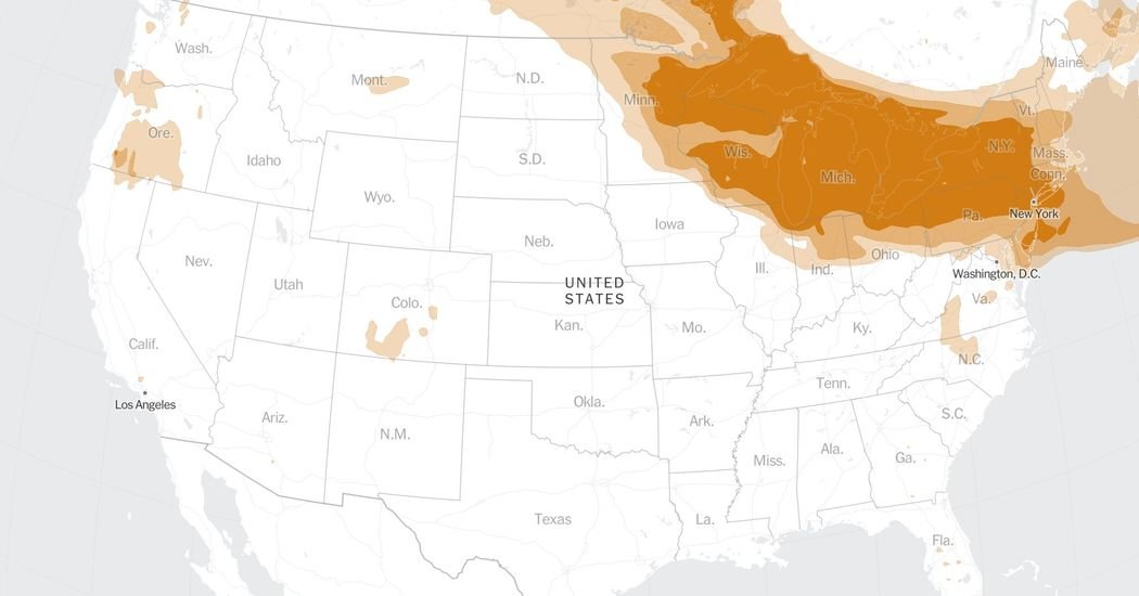
Smoke and particulate matter can travel far from their origin. Much of the smoke that has affected the Midwest and Northeastern United States can be traced back to fires burning in Canada.
Recent near-surface smoke
Notes
Forecast smoke map Based on models and may underestimate smoke because of cloud cover or other obstructions. Contours show estimates of wildfire smoke near the surface.
Near-surface smoke map Hourly near-surface wildfire smoke concentrations from the National Oceanic and Atmospheric Administration HRRR-Smoke model.
About The Author