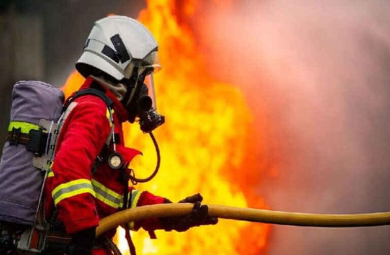
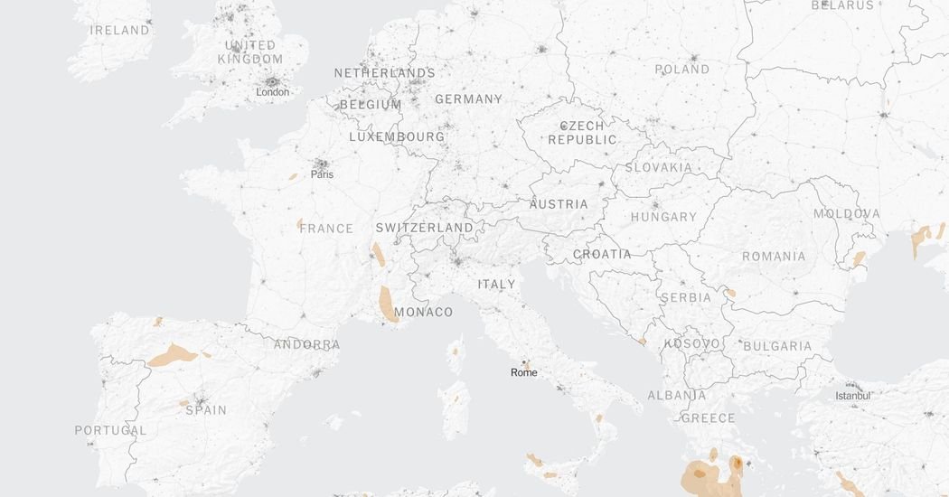
The recent wildfires across Europe have forced hundreds of thousands of people to evacuate. The map below uses satellite imagery to track the latest extent of actively burning areas.
The European Centre for Medium-Range Weather Forecasts produces daily fire danger forecasts for Europe. The forecasts represent a combination of how easily fires could ignite, how quickly they could spread, how hard they would be to control and the potential impact of a fire in a specific location.
The wildfires have produced surface-level smoke, which can lead to worsened air quality in surrounding areas.
Rising temperatures can exacerbate dry conditions that make it easier for wildfires to spread. Here is where heat is expected across Europe in the coming days.
Sources: LandScan via Oak Ridge National Laboratory (population density) | Notes: Forecast smoke map is based on models and may underestimate smoke because of cloud cover or other obstructions. Contours show estimates of wildfire smoke near the surface. Fire danger uses the Global ECMWF Fire Forecast (GEFF).
About The Author