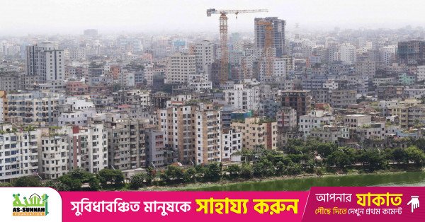
Representational image. A top shot of Dhaka city. The photo was taken from the Gulshan area in the capital. Photo: TBS
“>

Representational image. A top shot of Dhaka city. The photo was taken from the Gulshan area in the capital. Photo: TBS
New satellite analysis by the European Space Agency (ESA) shows significant landscape changes around Dhaka over the past nine years, highlighting rapid urban expansion and visible shifts in surrounding river systems.
The findings are based on a comparison of satellite images taken in February 2017 and February 2026 by the Copernicus Sentinel-2 mission.
The images were processed using a false-colour technique with Sentinel-2’s near-infrared channel, where vegetation appears red, water bodies appear dark blue or black, and built-up areas appear in shades of grey. This colour contrast allows researchers to clearly identify environmental and land-use changes over time.

River-dominated floodplain landscape
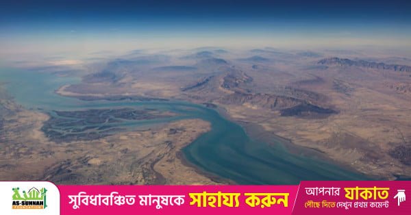
Dhaka lies on a low-lying floodplain intersected by an intricate network of rivers and streams. Three rivers flow across the urban area: the Dhaleswari River to the west, the Buriganga River through the central area, and the Sitalakhya River to the east.
The wider region is also bounded by some of South Asia’s largest river systems, including the Padma River to the west, the Jamuna River to the northwest, and the Meghna River to the east.
The Jamuna Is the lower course of the Brahmaputra River, which originates in Tibet, flows through India and then enters Bangladesh. The Jamuna flows south and merges with the Padma—the lower section of the Ganges in Bangladesh—before the combined flow joins the Meghna River and eventually empties into the Bay of Bengal.
Changes in river channels
According to ESA’s analysis, noticeable changes can be observed in the shape and width of the Padma River, particularly near its confluence with the Meghna River. Several areas of exposed riverbeds and sandbars are also visible along the Jamuna-Padma river system, reflecting the dynamic sedimentation processes driven by monsoon flooding.
Rapid urban expansion
One of the most striking differences between the 2017 and 2026 images is the expansion of built-up areas around Dhaka. Areas that appeared bright red in the earlier image—indicating dense vegetation or agricultural land—appear much duller in the recent image, suggesting soil exposure, construction activity or sealed surfaces such as roads and buildings.
Researchers say this clearly illustrates the scale of urban sprawl around the Bangladeshi capital.
With an estimated population exceeding 36 million in its greater metropolitan region, Dhaka is widely regarded as one of the fastest-growing metropolitan areas in South Asia.
Pressure on land and natural resources
The rapid expansion of the city is placing increasing pressure on surrounding agricultural land, wetlands and other natural resources. As urban areas continue to spread outward, these landscapes are gradually being converted into residential, industrial and infrastructure zones.
Role of satellite monitoring
ESA notes that the Copernicus Sentinel-2 mission plays a crucial role in monitoring urban growth and land-use change. The satellite system provides accurate and frequent observations that help track vegetation health, inland water bodies and environmental transformation.
Such information is essential for urban planners and policymakers seeking to manage rapid urbanisation while protecting agricultural land, water resources and ecological balance.